Important
This article explains terminology. It cannot replace the current avalanche bulletin, avalanche training or an assessment of a particular slope. In unsecured terrain, use the bulletin, training and emergency equipment, and be prepared to turn back.
A scale for all of Europe
The avalanche warning services in Europe use a common, five-step danger scale. It is maintained by the European avalanche warning services (European Avalanche Warning Services, abbreviated EAWS) and is valid in Austria, Bavaria, South Tyrol, Switzerland and the other Alpine countries. A "3" in Tyrol therefore means the same as a "3" in Bavaria.
The level is a Regional forecast. It arises from three questions: How stable is the snowpack? How frequently are weak spots distributed across the terrain? And how large can avalanches become? Based on these factors, warning services use a common matrix to determine the level. The level therefore describes an entire area, not a single slope.
The five levels at a glance
These short descriptions summarise the definitions used by EAWS and the avalanche warning services. A steep slope means terrain inclined at roughly 30 degrees or more.
| Level | What it means |
|---|---|
| 1Low | The snowpack is generally well bonded. Triggering an avalanche usually requires a high additional load on isolated, extremely steep slopes. Even a small avalanche can cause a fall in exposed terrain. |
| 2Moderate | On some steep slopes, the snow cover is only moderately consolidated. Triggering conditions are mainly possible under heavy additional load, especially on the slopes mentioned in the report. Very large spontaneous avalanches are not expected. Alarm signs are often missing. |
| 3Considerable | The snowpack is moderately to weakly bonded on many steep slopes. Even a low additional load may trigger an avalanche, including remotely. Whumpf sounds are typical. Individual large natural avalanches are possible. |
| 4High | On most steep slopes, the snow cover is weakly consolidated. Triggering events are likely on many steep slopes even with minimal additional load, and remote triggering events are typical. Spontaneously, many large, sometimes very large avalanches can be expected. |
| 5Very high | The snowpack is largely unstable. Many very large and extremely large natural avalanches are expected, including on moderately steep terrain, and may reach valley floors. This level is issued rarely. |
Two terms appear in every avalanche bulletin. Low additional load is for example a single skier or snowboarder who rides smoothly and does not fall, a snowshoe walker or a group with at least ten meters of distance apart. High additional load are about two or more people without distance, a single pedestrian or an explosion.
Why level 3 is so often underestimated
The scale is not a school grade where the middle is "half as bad". According to EAWS, level 2 is given on about half of the winter days, level 3 on about 30 percent and level 1 on about 20 percent; level 4 only occurs on a few days per winter. The distribution of avalanche deaths is different: around half die at level 3, about 30 percent at level 2, around 10 percent at level 4 and about 5 percent at level 1.
At Considerable danger, fresh snow and fine weather can make a dangerous situation seem harmless. At Moderate danger, warning signs may be absent even when particular slopes are critical, especially with persistent weak layers.
Avalanche problems and hazard patterns
The danger level describes how dangerous conditions are. The avalanche problem explains why - and therefore, where and when the danger lies. The EAWS distinguishes five typical avalanche problems:
- New snow - the load of fresh snow is the decisive factor. Critical during and shortly after the snowfall.
- Wind slab – Wind transports loose snow and deposits it as a snowpack, usually in wind-sheltered slopes, ravines, depressions, and behind ridges. More about this in the article. New snow and wind load.
- Persistent weak layers – weak layers deep in the snowpack, such as faceted crystals or buried surface hoar. They can persist for weeks or months and are difficult to recognise. Human triggering is common.
- Wet snow – Meltwater or rain weakens the snow cover. Often dependent on the time of day, with increasing risk throughout the day.
- Gliding snow – the entire snowpack slides over a smooth surface such as grass or rock. Glide cracks are a warning sign, but the time of release is difficult to predict.
The Tyrolean avalanche warning service and other services in Austria, Bavaria and South Tyrol describe the situation in addition with ten Danger patterns, which describe recurring accident scenarios, such as weak layers near the ground from early winter, rain, cold-to-warm or warm-to-cold transitions, loose snow with wind, adjacent areas of deep and shallow snow, or spring conditions.
Important in the avalanche bulletin are also Elevation and aspect: A region can have a different level below a height limit than above. In case of day-time changes, typical in spring, the Euregio avalanche report shows separate maps for morning and afternoon.
Where you can find the official avalanche bulletin
Avalanche warnings are the responsibility of the federal states in Austria. The report of the warning service responsible for the region is always the most important:
- Tyrol, South Tyrol and Trentino: The joint Euregio avalanche report on lawinen.report (English avalanche.report). During winter it is published daily at 17:00 for the next day, with an update at 08:00.
- Salzburg: lawine.salzburg.at
- Carinthia: lawinenwarndienst.ktn.gv.at
- Styria: lawine-steiermark.at
- Upper Austria: Avalanche warning service Upper Austria
- Lower Austria: lawinenwarndienst-niederoesterreich.at
- Vorarlberg: vorarlberg.at/lawine
- All of Austria on a map: lawinen.at, jointly by the warning services of the federal states
- Bavaria: Snow avalanche warning service Bavaria - every day at 5 pm in winter, valid for the next 24 hours
- Switzerland: The avalanche bulletin of the SLF
Outside the winter season there is usually no daily danger map; the Euregio avalanche report then informs, for example, through blog posts. No report does not mean that there is no danger – especially earlier in autumn snow on glaciers and in the high mountains is often underestimated.
The avalanche level in Kaiserwetter Ski
 Kaiserwetter Ski
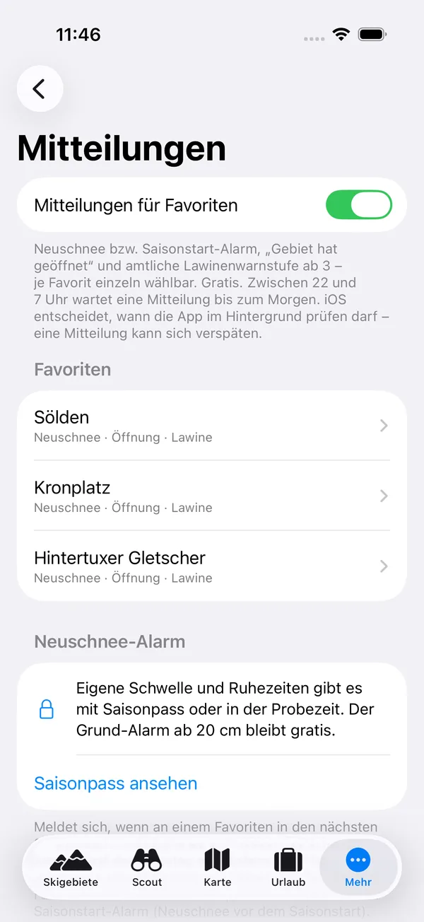
 shows the avalanche rating directly from the official avalanche warning service for each of the supported ski resorts, with the publisher, validity, and link to the complete avalanche bulletin. If there is no valid report, the app does not display a rating—it never estimates it itself. For favorites, you can have a notification sent as soon as the official rating reaches 3 or higher.
Read the full bulletin, including the avalanche problems and the affected elevations and aspects, before assessing off-piste terrain.
Briefly summarized
- The level is a forecast for a region, not an opinion on a single slope.
- Always also read the avalanche problem, altitude, exposure and the text of the report.
- Most fatal accidents occur at levels 2 and 3.
- The operator secures open, marked pistes; otherwise, this does not apply.
- For off-piste terrain, carry an avalanche transceiver, shovel and probe, and obtain appropriate training, for example through an alpine club.
Sources
- EAWS: Avalanche Danger Scale (Danger levels, frequency and distribution of fatalities)
- EAWS: Typical Avalanche Problems
- EAWS: glossary (Additional load)
- Snow avalanche warning service Bavaria: Snow avalanche danger levels and Avalanche problems
- Euregio avalanche report: manual (Publication times and variations with elevation and time of day)
- State Tyrol: Daily Euregio avalanche report starts in the eighth winter season
- Bergwelten: The 10 danger patterns (according to R. Mair and P. Nairz, Avalanche warning service Tyrol)
- Website of avalanche warning services as linked above, accessed in November 2026